

Why not make a good public transport map based on the current network?
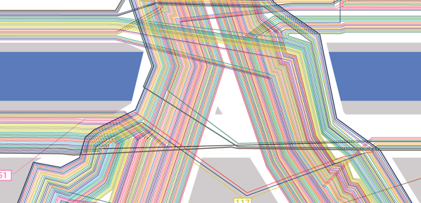


A big mess: O’Connell Bridge, Westmoreland Street and D’Olier Street: All bus routes of the current network as separate lines


All content © Aris Venetikidis 2011

Aris Venetikidis
aris.v [at] mac.com
