


A variety of maps have tried to communicate the city’s streets and public transport system over the years. All failed on one level or another. Dublin Bus’ most recent map (Dublin Bus Network 2010) is the most successful attempt so far. It is the first map that shows a sufficient level of transport map graphic design expertise and (though falling victim to Dublin’s far too complicated network) manages to portray the district destinations quite well. But this is done at the expense of loosing the city centre entirely.
Recent and Current attempts to map public transport in Dublin
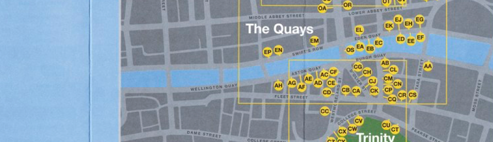
The city centre is represented by a big octagonal box sprinkled with yellow city centre zone code markers and a complex index overleaf. The city centre bus stops not covered by city centre zones are missing entirely.


All content © Aris Venetikidis 2011

Aris Venetikidis
aris.v [at] mac.com
