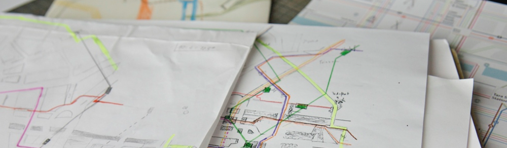


The greatest graphic design related challenge of this project was the design of a district map for the city centre. Even after the fundamental simplification of the public transport network, there still remained a vast amount of information that could only be presented to a sufficient international standard by applying professional elements of modern public transport map design, like spatial distortion, simplification and a careful omission of unnecessary levels of information.
Again, a series of hand rendered distortion studies were generated and then tested on the computer. With every generation of distortion, the map evolved to be able to receive more and more complex information.
City centre map showing all public transport modes


All content © Aris Venetikidis 2011

Aris Venetikidis
aris.v [at] mac.com
